Tropical Cyclones :-
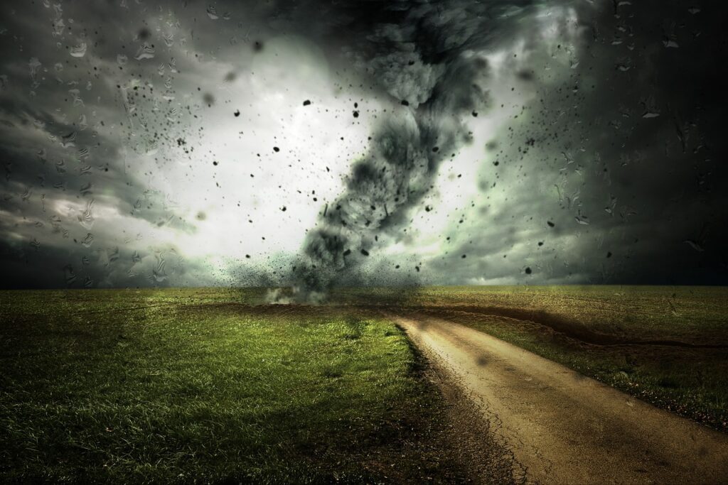
Cyclonic storms, also known as cyclones, hurricanes, or typhoons depending on the region, occur due to specific atmospheric and oceanic conditions. These storms are characterized by low-pressure systems with strong rotating winds that spiral inward toward the center, known as the eye. Here are the key factors that contribute to the formation and intensification of cyclonic storms:
1.Warm Ocean Waters: Cyclones derive their energy from warm ocean waters. The surface of the ocean acts as a heat source, providing the necessary energy for the storm to develop and strengthen. Typically, the ocean temperature needs to be around 26.5°C (80°F) or higher for a cyclone to form.
2. Moisture and Instability: High levels of moisture in the atmosphere are crucial for cyclone formation. When warm, moist air rises rapidly from the ocean surface, it condenses, releasing latent heat and further fueling the storm. This process enhances the instability in the atmosphere and promotes the development of intense thunderstorms.
3. Coriolis Effect: The Coriolis effect, caused by the Earth’s rotation, plays a significant role in cyclone formation. As air flows toward the low-pressure center of the storm, it is deflected by the rotation of the Earth, causing the air to spiral inward. The Coriolis effect is responsible for the cyclonic rotation and the formation of the distinctive circular shape of these storms.
4. Low Vertical Wind Shear: Cyclones require low vertical wind shear, which means a minimal change in wind speed and direction with height. Strong wind shear can disrupt the organization of the storm, inhibiting its development or weakening it. When wind shear is low, the storm can grow vertically and develop a well-defined eye and eyewall, leading to its intensification.
It’s important to note that cyclones can vary in size, intensity, and location. They typically form over tropical or subtropical regions, where the ocean waters are warmest. These storms can cause significant damage due to their strong winds, heavy rainfall, storm surge, and potential for tornadoes. Timely monitoring, tracking, and preparedness are essential to mitigate the risks associated with cyclonic storms.
what are tropical cyclones

Tropical cyclones, also known as hurricanes or typhoons depending on the region, are powerful and destructive weather systems characterized by low-pressure centers and strong rotating winds. These storms primarily develop over warm ocean waters in tropical or subtropical regions. Here are some key features of tropical cyclones:
1. Structure: Tropical cyclones consist of several distinct components. At the center of the storm is the eye, which is a relatively calm area with light winds and clear skies. Surrounding the eye is the eyewall, where the strongest winds and heaviest rainfall occur. Spiral rainbands extend outward from the eyewall and can produce additional rain and strong winds.
2. ntensity: Tropical cyclones are categorized based on their maximum sustained wind speeds, using different scales such as the Saffir-Simpson Hurricane Wind Scale (for Atlantic and Northeast Pacific storms) or the Typhoon Intensity Scale (for Northwest Pacific storms). Categories range from tropical depression (with winds below 39 mph or 63 km/h) to Category 5 hurricanes/typhoons (with winds exceeding 157 mph or 252 km/h).
3. Hazards: Tropical cyclones pose various hazards. The most immediate threat is from the strong winds, which can cause significant damage to buildings, infrastructure, and vegetation. These storms also bring heavy rainfall, leading to flash floods, mudslides, and widespread flooding. Storm surge, a rise in sea level caused by the cyclone’s winds, can result in coastal inundation and coastal erosion. Tornadoes can also be spawned by tropical cyclones, adding to the overall destructive potential.
4. Tracking and Forecasting: Meteorological agencies use various tools and techniques to track and forecast the paths and intensities of tropical cyclones. Satellites, weather radar, and aircraft reconnaissance are employed to monitor their movements and collect data for analysis. This information helps in issuing warnings, evacuations, and emergency preparedness efforts.
It’s important for people living in areas prone to tropical cyclones to stay informed, follow guidance from local authorities, and take necessary precautions to protect themselves and their property during these potentially dangerous storms.
Which country has the most cyclone?
The countries most affected by cyclones vary depending on the specific region and the criteria used to measure cyclone activity. However, some regions experience a higher frequency of cyclones compared to others. Here are a few areas that are often affected by cyclones:
1. Bay of Bengal: The countries in the Bay of Bengal region, such as Bangladesh, India (particularly the east coast), and Myanmar, are frequently impacted by cyclones. The warm waters of the Bay of Bengal provide favorable conditions for cyclone formation, and the coastal areas are vulnerable to storm surges and heavy rainfall.
2. North Atlantic Basin: The North Atlantic Basin, including the Caribbean Sea and the Gulf of Mexico, is prone to hurricanes. Countries such as the United States (particularly the Gulf Coast and Atlantic Coast), Mexico, and various Caribbean nations, including Puerto Rico and the Dominican Republic, experience cyclonic activity.
3. Northwest Pacific Basin: The countries in the Northwest Pacific Basin, including the Philippines, Japan, China, Taiwan, and Vietnam, are frequently affected by typhoons. These countries lie in the path of typhoon formation due to warm ocean waters and favorable atmospheric conditions.
4. Southwest Indian Ocean: Countries in the Southwest Indian Ocean region, such as Madagascar, Mauritius, and Mozambique, often experience cyclones. The warm waters of the Indian Ocean contribute to cyclone formation in this area.
Where did the first cyclone come
The first recorded cyclone in history is difficult to determine precisely due to the lack of detailed historical records. However, early documented accounts suggest that cyclones have been occurring for thousands of years. The first recorded cyclones were likely observed in regions such as the Bay of Bengal, the Arabian Sea, or the South China Sea, where cyclonic activity is known to be common.
Historically, regions with extensive maritime trade routes, such as the Indian Ocean and the Western Pacific, would have had increased chances of encountering cyclones. Ancient civilizations that relied on sea navigation, such as the Indian, Chinese, and Arab seafarers, likely encountered cyclones and documented their experiences.
cyclones have been occurring on Earth for a very long time, and their occurrence is a natural part of the Earth’s atmospheric and oceanic processes. However, detailed scientific documentation and comprehensive tracking of cyclones began much later, with the advancement of meteorological observation and recording techniques in the 19th and 20th centuries.
Cyclone is measured by which instrument and who discovered that journey
Cyclones are primarily measured and tracked using a combination of instruments and technologies. The key instruments and methods used to measure and monitor cyclones include:


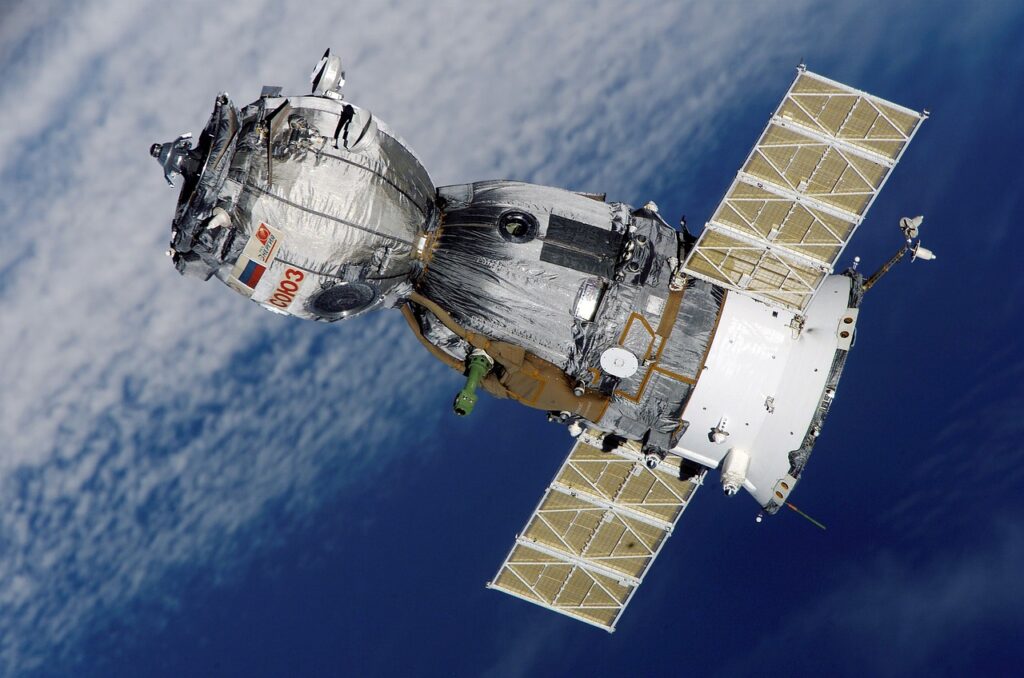
1. Satellites: Weather satellites equipped with various sensors and instruments are crucial for tracking cyclones. They provide valuable information on the storm’s size, cloud patterns, temperature, and other atmospheric parameters. Satellite imagery helps meteorologists analyze and predict the cyclone’s movement and intensity.


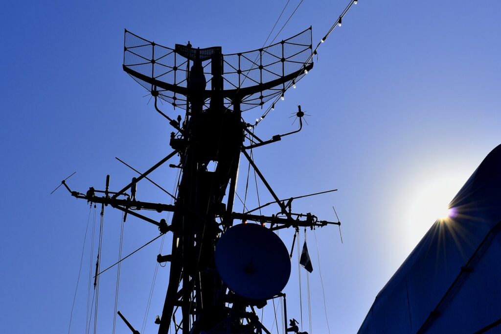
2. Weather Radar: Doppler weather radar is used to detect precipitation within a cyclone, measure the storm’s wind speeds and structure, and identify potential tornadoes within the storm. Radar data provide valuable information about the internal dynamics and organization of the cyclone.
3. Weather Stations and Balloons: Ground-based weather stations, including anemometers (to measure wind speed), barometers (to measure atmospheric pressure), and thermometers, provide local observations that contribute to cyclone analysis. Weather balloons equipped with instruments are also launched to gather atmospheric data at various altitudes.
4. Aircraft Reconnaissance: Hurricane hunter aircraft, such as the ones operated by the United States’ National Oceanic and Atmospheric Administration (NOAA) and the U.S. Air Force, are deployed to fly into cyclones. These aircraft gather detailed information on the storm’s structure, intensity, and atmospheric conditions, providing valuable data for forecasters.
As for the discovery of cyclones and the exploration of their characteristics, it is not attributed to a single individual or journey. Cyclones have been observed and experienced by civilizations throughout history. However, the understanding of cyclones and their scientific study developed significantly over time through the efforts of many meteorologists and scientists. Modern meteorological knowledge of cyclones has evolved through centuries of observations, scientific research, and advancements in technology and data analysis.
👇Follow Us👇


